California's Winter Warning: [A Record-Wet Season Looms]

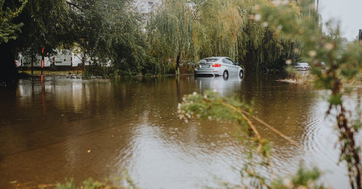
California is bracing for a winter of potentially unprecedented extreme weather, a dangerous combination of a strong "super" El Niño and the escalating impacts of climate change. Following a record-hot year and recent hurricane damage, forecasts suggest a very high risk of record-wet atmospheric rivers and coastal flooding. Warming ocean waters are driving sea levels higher and intensifying storms, threatening significant damage across the state. This urgent situation highlights the critical need for climate action and robust community preparedness.
California is on high alert for its most challenging winter in memory, with predictions pointing to record-breaking rainfall and widespread flooding. This grim forecast stems from the powerful influence of a "super" El Niño event, amplified significantly by ongoing climate change. Experts warn that the state, already reeling from its hottest year hottest year-to-date period and recent hurricane impacts, could face a dramatic onslaught of "atmospheric rivers" – streams of moisture flowing directly from the tropics.
Climate scientists, like Daniel Swain, have assessed various seasonal models, revealing unusually high odds (up to 40-50% in some central coastal areas) for one or more months this winter to be the wettest on record, as detailed in an October 12 post at weatherwest.com. This isn't just about heavy rain; a 2022 study co-authored by Swain revealed that climate change has already doubled the risk of a major "megastorm" and more than tripled the chance of a devastating trillion-dollar megaflood, similar to the one that reshaped California in 1861-62. This winter, the risk of a flood costing over $10 billion could be ten times higher than usual, which would make it California's costliest flood ever, as he replied to a query.
Adding to the concern are record-high sea surface temperatures along the California coast. These waters are currently about 2-6 degrees Celsius (3.6-10.8°F) above average, driven by both the exceptionally warm year and an influx of tropical warm water from an oceanic “Kelvin wave” pushed by the intensifying super El Niño. These unusually warm coastal waters mean that winter storms will pick up even more moisture, leading to heavier precipitation. It also means that much of the mountain precipitation will fall as rain, not snow, except at the very highest elevations, increasing flood risks downstream. This warmth also boosts atmospheric instability, raising the chance of coastal thunderstorms, flash flooding, and even isolated tornadoes.
Coastal areas face a dual threat. Sea levels have already been running significantly higher than expected, partly due to climate change, which has already added six to eight inches to average sea levels since pre-industrial times. For instance, water levels at Los Angeles rose an additional 9.5 inches between May and September and have been one to two feet above expected so far in October. The highest tides of the year, known as king tides, are set to occur in late November, December, and January. Combined with the elevated sea levels and potential for strong storms, these king tides are almost guaranteed to cause coastal flooding, potentially widespread and historic. The urgency of these predictions underscores how quickly our climate is changing and the vital need for communities to adapt and accelerate sustainable solutions.