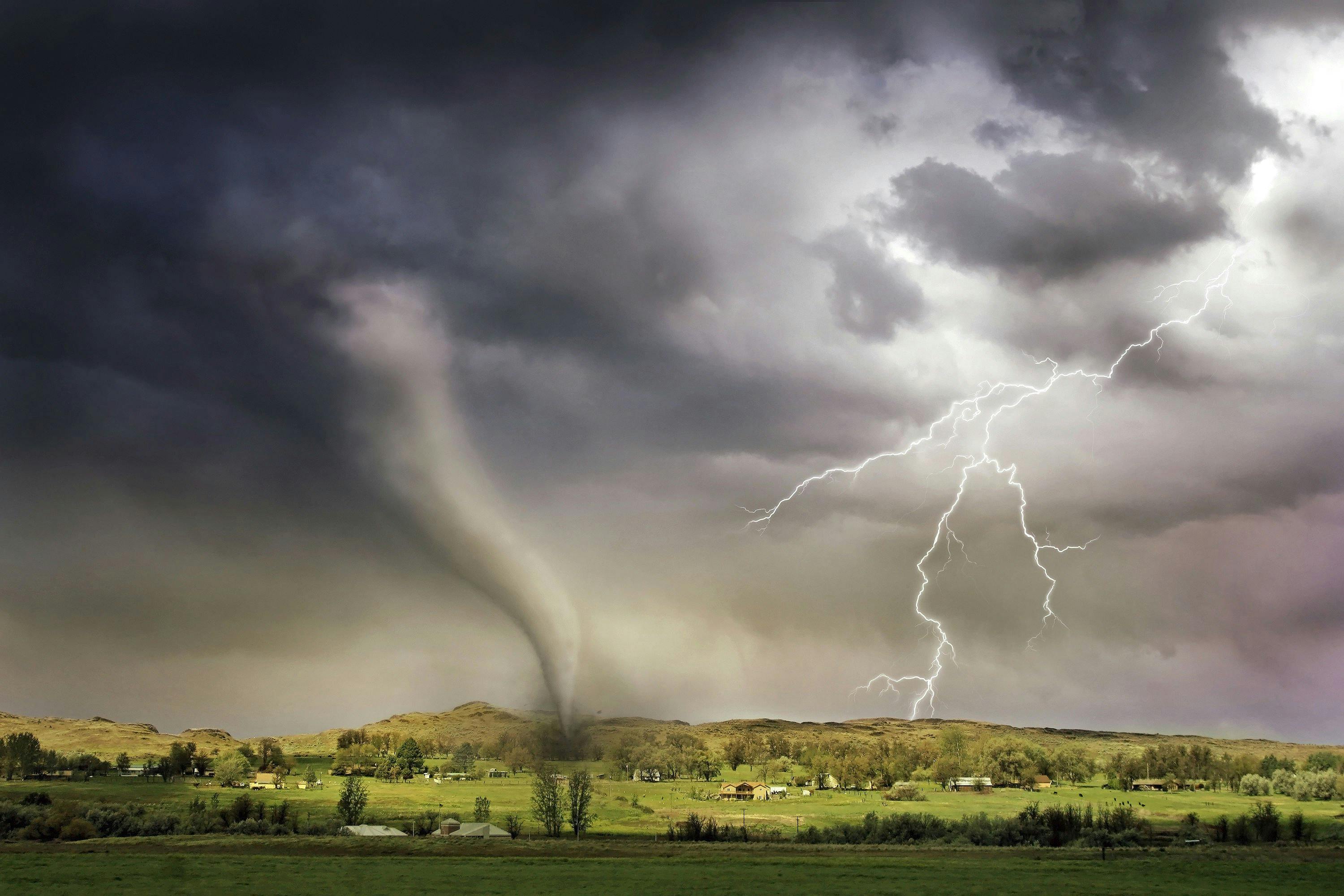
Climate Change Drove 36% of Ragasa’s Destruction

A new analysis from Imperial College London’s Climate Damage Tracker, reported by Yale Climate Connections, finds that human-driven warming measurably intensified Super Typhoon Ragasa. At landfall near Yangjiang, Guangdong, on September 24, climate change increased the storm’s winds by about 7% and its rainfall by 12%, together lifting the overall damage by an estimated 36%. The storm killed at least 29 people and caused losses in the hundreds of millions of dollars, according to insurance broker Aon. The study also shows such intense winds are now 49% more likely than in a cooler, preindustrial climate, shortening their expected return period from roughly 33 to 17 years. Heavy rains that once occurred every 8.8 years are now expected about every 6.7 years.
Super Typhoon Ragasa peaked over the western Pacific as a Category 5 and came ashore in southern China as a solid Category 3, striking the city of Yangjiang, Guangdong, with 120 mph (195 km/h) winds on September 24. In the storm’s wake, at least 29 deaths were confirmed and economic losses mounted into the hundreds of millions, according to preliminary tallies from insurance analysts.
New research released through Imperial College London’s Climate Damage Tracker—summarized by Yale Climate Connections—quantifies how much human-caused warming amplified Ragasa’s punch. Scientists estimate that, at landfall, climate change increased the storm’s wind speeds by about 7% and its rainfall by around 12%. Translated into real-world impacts, that shift is akin to moving from a weaker to a stronger Category 3—and it pushed up the overall damages by roughly 36%.
The study also reframes risk. In a preindustrial climate, Ragasa-level winds would be expected about once every 33 years in the region. With roughly 1.3°C of global warming today, that return period tightens to about 17 years—making such winds 49% more likely. For rainfall, a downpour of Ragasa’s magnitude that once occurred roughly every 8.8 years is now expected about every 6.7 years. These changes mean communities face severe wind and flood hazards more often, leaving less time to rebuild between disasters.
Eyewitness accounts from inside the circulation described a turbulent eyewall with damaging bursts and widespread tree and structural damage on Hailing Island, consistent with the storm’s late-stage intensity as it came ashore. While Ragasa weakened after landfall, the combination of strong winds, storm surge, and extreme rainfall produced extensive impacts across parts of Guangdong.
Looking ahead, forecasters are monitoring a tropical wave that moved off West Africa on October 3 and could slowly organize as it tracks west toward the Lesser Antilles around October 9–11, when wind shear may relax. The National Hurricane Center recently assigned low two-day odds but moderate seven-day development chances and noted a separate, low-probability disturbance near the Bahamas. The next name on the Atlantic list is Jerry. Even as the western Pacific tallies Ragasa’s toll, the Atlantic remains worth watching in the coming days.
