Coasts Brace for Impact: Multiple Storms Threaten Regions Now

The world's oceans are churning with exceptional storm activity, posing immediate threats to communities across multiple regions. Hawaii braces for potentially catastrophic flash floods from Hurricane Nolo, while Hurricane Polo unleashes torrential rains and dangerous surf along Mexico's coast before its projected landfall. Meanwhile, an unusually early nor'easter is causing significant coastal flooding and erosion from the Outer Banks to New England, demonstrating the intense and varied challenges we face from a dynamic climate. These events underscore the urgent need for robust climate action and sustainable infrastructure to protect vulnerable areas.
Our planet's weather systems are showing intense activity, especially in the Pacific where multiple powerful hurricanes are simultaneously active. This comes alongside an unusually early nor'easter battering the U.S. East Coast. Such extreme weather events highlight the critical need for communities worldwide to prepare for a future shaped by a changing climate, making resilient infrastructure and environmental protection more vital than ever.
Hawaii faces a serious threat from Hurricane Nolo, currently intensifying south of the islands. While it may not make direct landfall, the Big Island is at risk of catastrophic, life-threatening flash floods this weekend, according to the National Hurricane Center. The island's steep mountains can turn even moderate rainfall into dangerous torrents, and Nolo’s slow movement means prolonged downpours, leading to estimated rainfall accumulations of up to 25 inches in some areas. Residents must stay alert as even small shifts in the storm's path could alter specific impacts.
Further west, Hurricane Polo, an exceptionally powerful storm that has reached Category 5 intensity three times, continues to lash Mexico's southwestern coast with torrential rains and hazardous surf. Though its destructive core remains offshore, Polo is expected to make landfall on the Baja California peninsula early next week, bringing widespread flooding and landslide risks with 4 to 8 inches of rain, possibly up to 10 inches. Its remnants could then carry heavy moisture into the U.S. Southwest, raising flood concerns there too.
Meanwhile, other named storms are also active: Hurricane Odalys, a powerful Category 4 storm, thankfully remains far out in the Pacific, posing no land threat, as reported by the NHC. In the Atlantic, Tropical Storm Fay is weakening over open waters, while the newly formed Tropical Storm Gonzalo is bringing heavy winds and intense rains to the Cape Verde islands and parts of West Africa, with warnings for flash floods and dangerous sea conditions. The Atlantic season's accumulated cyclone energy is remarkably low compared to the Pacific's above-average activity, as noted by Colorado State University.
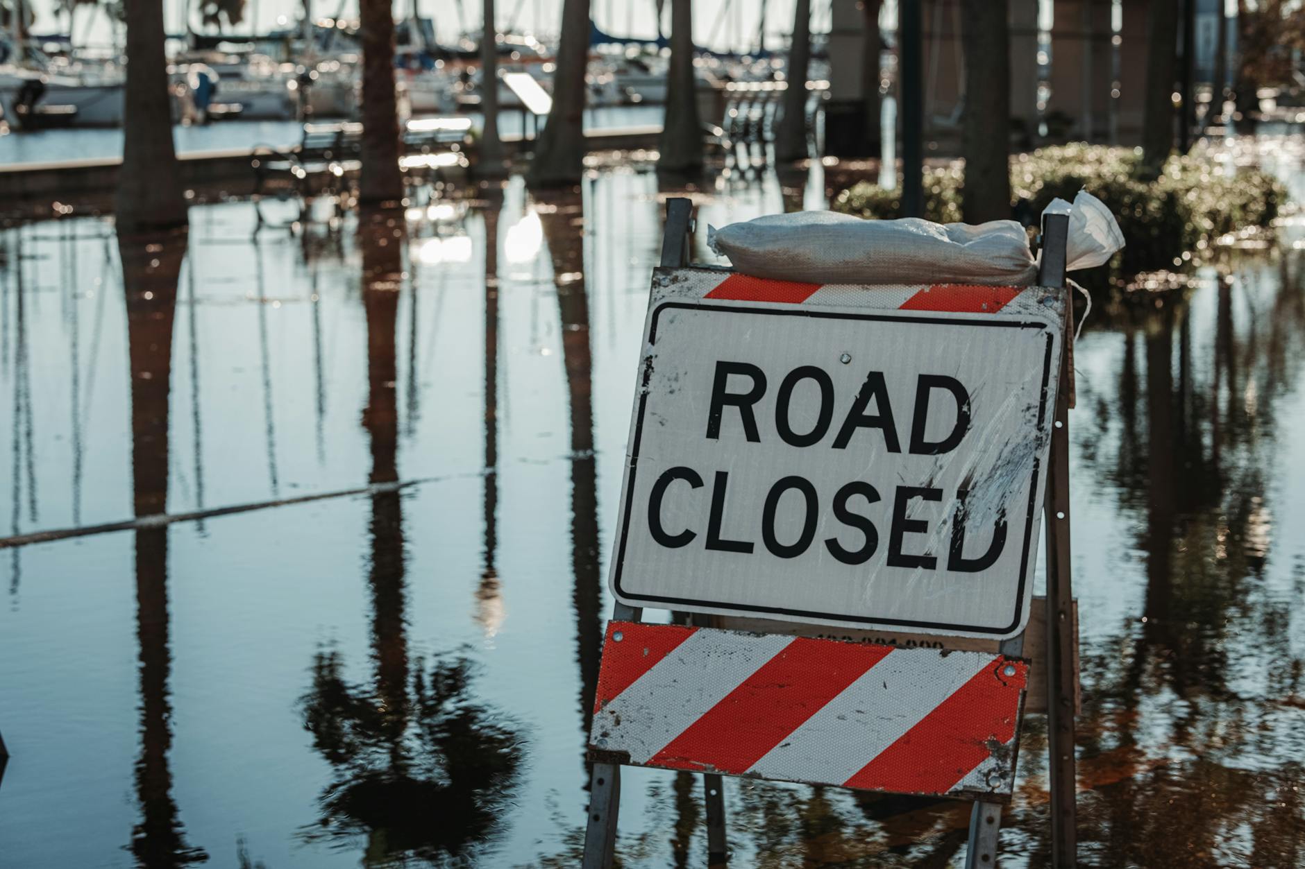
Closer to home, an unseasonal nor'easter has already caused significant damage, closing the main road to North Carolina's Outer Banks due to severe erosion and ocean overwash, isolating thousands. Reports indicate severe damage to a 500-foot stretch of highway. This storm, uncommonly early for September, is forecast to bring moderate coastal flooding, strong winds, and heavy rains from New Jersey to Maine this weekend. Breaking waves up to 13 feet could lead to serious beach erosion, threatening costly coastal restoration projects. These events reinforce the urgent need for proactive, sustainable coastal management strategies in the face of rising sea levels and more intense weather.
For instance, the tide gauge at Duck, North Carolina recorded its eighth-highest water level since 1977. This storm could even develop some subtropical characteristics, a phenomenon seen previously when a 2023 nor'easter was later officially declared a subtropical storm by the NHC. Regardless of its classification, its impacts are significant, urging residents to prepare for a long weekend of high-impact weather.