Gulf Coast Braces: What Does Tropical Depression 2 Mean?

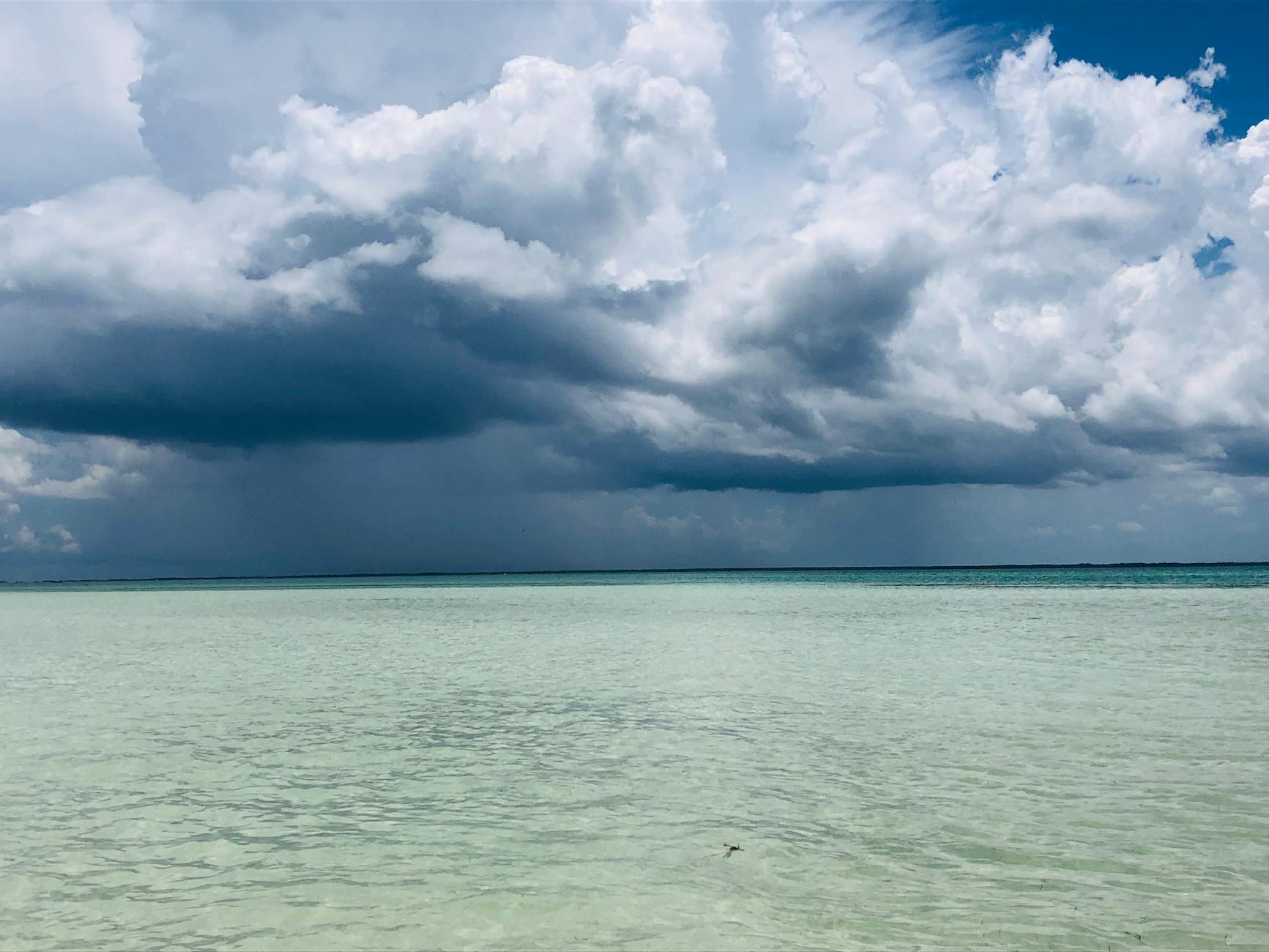
Tropical Depression 2 has formed over the northeast Gulf of Mexico, prompting a tropical storm watch for the western Florida Panhandle. Though currently weak, forecasters predict it will strengthen into a tropical storm and bring torrential rains as it tracks towards the Louisiana and Texas coasts by midweek. Fueled by near-record-warm Gulf waters, this system highlights the urgent need to address climate change, which can intensify such weather events. Its moisture is also expected to feed intense rainfall across parts of Virginia and the Carolinas, raising flood concerns far beyond its immediate path.
Tropical Depression 2, currently drifting slowly northwest about 170 miles southeast of Panama City, Florida, may seem modest with its 30 mph winds. However, its large, organized circulation has already dumped 6-7 inches of rain in parts of Florida over the past three days, showing its significant moisture potential. As it moves towards the Louisiana coast by Wednesday and potentially further west towards Houston by Friday, it is expected to gain strength, possibly reaching 60 mph sustained winds or even approaching hurricane status, despite battling increasing wind shear and dry air, as noted by SHIPS statistical guidance from Sunday morning.
A major concern is the ongoing presence of near-record-warm waters in the Gulf. These warmer ocean temperatures act like fuel, creating ideal conditions for storms to gather strength and unleash more intense rainfall. This pattern underscores the critical urgency of addressing global warming, as warmer oceans contribute to more powerful and wetter storms, posing greater risks to coastal communities and beyond. Protecting our environment and transitioning to sustainable solutions are essential steps to mitigate these growing threats.
The primary threat from TD 2 is not necessarily its winds, but its capacity for torrential, widespread rainfall. Even if it remains a tropical storm, its moisture is projected to stream northeastward into a frontal zone, potentially causing an increasing concern for significant flooding from the Gulf Coast all the way up to Virginia and the Carolinas. We've seen this before: earlier this year, Tropical Storm Arthur caused an estimated $1 billion in flood damage extending far from its landfall in Texas, illustrating how even a weaker system can lead to devastating and distant flood impacts.