Gulf Coast Threat: What's Forming in the Western Gulf?

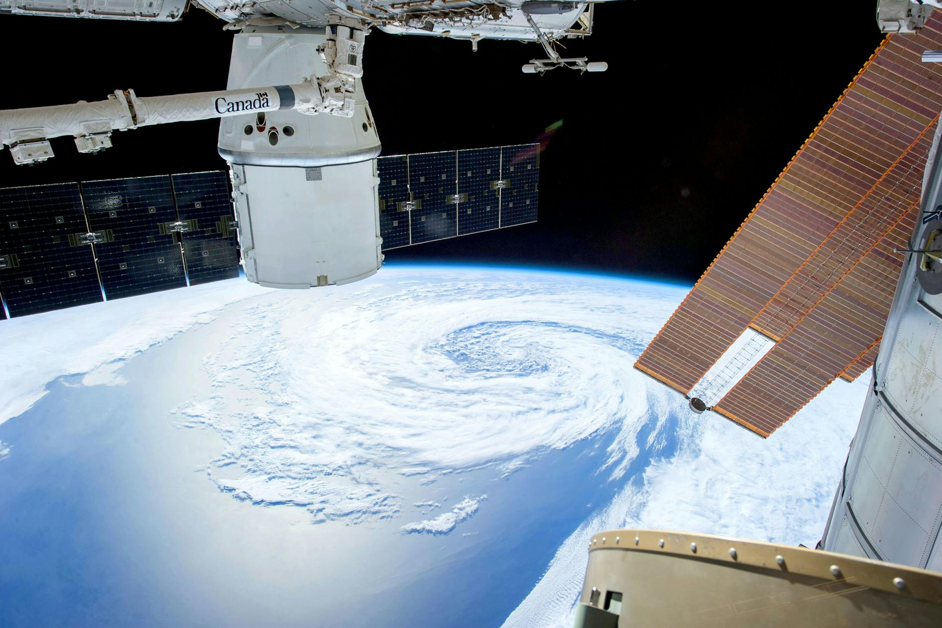
A developing system in the western Gulf of Mexico, Tropical Depression 9, is on track to intensify and could hit the central U.S. Gulf Coast as a hurricane by Friday night. Forecasters are closely monitoring its path and strength, urging residents from Louisiana to the Florida Panhandle to prepare immediately. This intensifying storm is fueled by exceptionally warm Gulf waters, currently the warmest on record for October, a condition significantly heightened by human-caused climate change. The urgency to act on climate warming and implement sustainable solutions is clearer than ever as these powerful storms become more probable.
The western Gulf of Mexico is stirring with the formation of Tropical Depression 9, a system that experts predict will strengthen into Tropical Storm Isaias tonight and potentially a hurricane by Friday evening. Its path is currently aimed at the central U.S. Gulf Coast, prompting residents to activate their hurricane plans without delay. The precise timing and intensity remain a subject of active forecasting, but the immediate threat is clear.
What makes this situation particularly concerning is the state of the Gulf itself. Sea surface temperatures across the Gulf are the warmest ever recorded for this time of year, hovering between 30 and 31 degrees Celsius (86-88 degrees Fahrenheit) along the storm's projected path. Data shows that human-caused warming has made such unusually warm readings several hundred times more likely in the western Gulf, according to Climate Central. This superheated water acts as a potent fuel, allowing storms like Isaias to rapidly intensify and pose a greater danger. It underscores the critical importance of global warming mitigation and embracing sustainable energy solutions to protect our coastlines.
While factors like wind shear could affect its final strength before landfall, forecasters advise that any approaching storm should be treated as if it will arrive at its peak. This means vigilance is key, with residents encouraged to closely follow official advisories from the National Hurricane Center. Now is the ideal time to finalize your emergency preparations. For more guidance, consider how to prepare for a hurricane.
Beyond the immediate hurricane threat, a separate concern for the wider Southeast U.S. is the potential for widespread heavy rains and flash flooding. A stationary front across Florida and the Gulf is expected to bring substantial rainfall over the next few days, with some coastal areas potentially seeing 5 to 10 inches or more. The NOAA/NWS Weather Prediction Center has already highlighted areas from eastern Louisiana to South Carolina at risk of excessive rain by this weekend. Such events highlight how changing climate patterns amplify weather hazards, making robust infrastructure and proactive environmental protection vital.