Gulf Coast Watches: What's Brewing in the Warming Gulf?

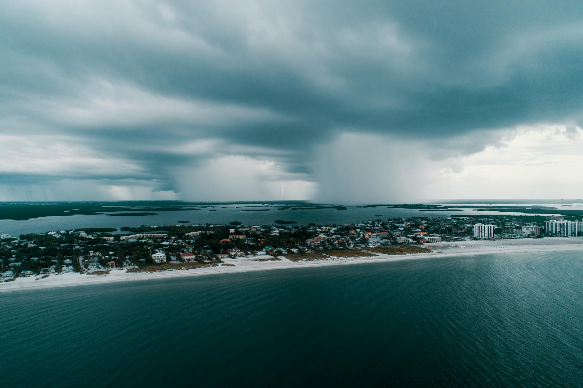
A rapidly intensifying tropical system in the western Gulf of Mexico has put residents from southeast Louisiana to the Florida Panhandle on high alert. Designated Tropical Depression 9, the system is expected to strengthen into Tropical Storm Isaias and make landfall as a hurricane on the U.S. Gulf Coast by Friday night. This developing threat comes as Gulf waters are exceptionally warm, with temperatures currently the hottest ever recorded for October. Such conditions are made hundreds of times more likely by human-caused climate change, amplifying the risk.
Residents across the central U.S. Gulf Coast should closely monitor an intensifying system in the western Gulf of Mexico. This system, identified as Tropical Depression 9, is forecast by the National Hurricane Center (NOAA/NWS) to steadily strengthen, becoming a tropical storm tonight and a hurricane by Thursday, with a projected landfall on the U.S. Gulf Coast late Friday. While forecast models largely agree on its curved path, the exact timing and intensity remain uncertain, yet closely linked.
Satellite images show the disturbance is rapidly organizing, likely aided by the Gulf’s concave geography and decreasing surface pressures. This development is supercharged by exceptionally warm ocean temperatures, which are currently the hottest ever recorded for this time of year in October, ranging from 86 to 88 degrees Fahrenheit along the system’s projected path. According to Climate Central's Climate Change Index, these unusually high temperatures are hundreds of times more probable due to human-caused warming [kouya.has.arizona.edu/tropics/GOMsst.png], [csi.climatecentral.org/ocean?lat=22.98032&lng=-86.02295&zoom=6&firstDate=2026-10-04]. Such abundant ocean heat offers significant fuel for the storm, despite some strong wind shear that could complicate its growth.
Forecasting tropical cyclones accurately before a clear central circulation forms is always challenging. NOAA’s Gulfstream-IV aircraft will gather critical data tonight, and hurricane hunter flights will begin Wednesday morning, providing more insights to refine these predictions. The system is expected to become Tropical Storm Isaias as it moves eastward or east-northeastward.
Significant questions remain, especially concerning its development by Thursday. Most models suggest a future Isaias will turn northward toward the central U.S. Gulf Coast after passing near the Yucatán Peninsula. The main point of contention among models is whether the storm will reach the central Gulf quickly enough to benefit from favorable upper-level winds, which would allow for faster intensification. A slower-moving storm might encounter more hostile wind shear, potentially weakening it. However, the abundant ocean heat could also enable a fast-moving system to rapidly intensify regardless, underscoring the unpredictable nature of such powerful weather events in a warming climate. Some models, including Google’s AI-based Weather Lab ensemble, predict it could reach hurricane strength by Thursday and approach the coast Friday night into Saturday.
While many models anticipate some weakening as the system nears land due to dry continental air and increased wind shear, residents should always prepare for a tropical storm or hurricane to arrive at its maximum intensity. It’s crucial for everyone in the central U.S. Gulf Coast to review their hurricane plans now, closely follow official advisories from the National Hurricane Center, and be ready to act if watches or warnings are issued.
Beyond the immediate wind threat, heavy rainfall poses a significant risk. A stationary front across the Gulf and Florida is expected to bring widespread showers and thunderstorms over the coming days. Some coastal areas could see 5 to 10 inches of rain, with localized higher amounts possible, raising the threat of flash flooding. The NWS/NOAA’s Weather Prediction Center has already issued a moderate risk for excessive rainfall and flash floods across a broad region from eastern Louisiana to South Carolina this weekend [wpc.ncep.noaa.gov/qpf/excessive_rainfall_outlook_ero.php]. This emphasizes the importance of understanding and preparing for all potential impacts from severe weather, which can often be exacerbated by changing climate patterns.