Hawaii's historic weather event: What made Lowell so unique?

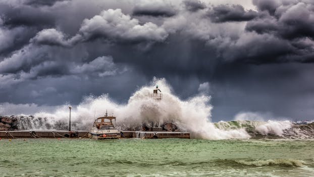
Hurricane Lowell delivered a severe blow to Hawaii, bringing relentless rain, strong winds, and widespread flooding. This powerful storm also triggered the state's first-ever tornado watch, an unprecedented event that highlights the growing unpredictability of extreme weather. After rapidly intensifying to a Category 5 hurricane, Lowell weakened before passing Hawaii, yet its expansive circulation still brought significant damage across the islands, knocking out radar services and blocking roads. The sheer force of this hurricane serves as a stark reminder of how our warming planet can amplify such devastating events.
Hurricane Lowell recently unleashed its fury on Hawaii, bringing a dangerous mix of torrential rain, damaging winds, and massive ocean swells. Even without making a direct landfall, the storm’s immense size caused significant disruption across the islands, reinforcing how devastating tropical cyclones can be. Such powerful and rapidly intensifying storms are becoming more common, offering a stark reminder of the urgent need to address global warming and protect our vulnerable island communities.
The storm's center tracked just west of Kauai and Niihau, but its broad reach meant hazardous conditions spread far and wide. Kauai bore the brunt of the heavy rainfall, experiencing between two and six inches of rain, with higher amounts in mountainous regions. This led to widespread flash flooding, overflowing streams, concerns about mudslides, and numerous road closures from fallen trees and utility poles. Even Oahu, further from the eye, felt the impact of Lowell's outer bands.
One of the most surprising aspects was Hawaii's first-ever tornado watch, issued by the National Weather Service for parts of Kauai. While tornado warnings were sounded, confirmed touchdowns were not immediately documented. This unusual severe weather threat, typically seen in the right-hand sector of a hurricane, highlights how a warming climate can alter storm dynamics, creating unforeseen dangers for communities. The National Weather Service Doppler radar in Kauai was knocked out of service during Lowell, adding to the challenges.
Powerful winds lashed the western islands, with gusts reaching up to 85 mph in Kauai and impacting even Honolulu. Beyond wind and rain, Lowell generated colossal waves of 30 to 50 feet offshore, creating dangerous rip currents, coastal flooding, and significant beach erosion. Rainfall totals reported by the NWS office in Honolulu, and two-day totals from the CoCoRaHS network near Hilo, underscored the intense precipitation. These severe impacts, including road blockages reported by the Hawaii Department of Transportation and the peak winds across the islands, underscore the critical importance of sustainable infrastructure and climate resilience efforts for islands facing an increasing threat from extreme weather.