Pacific Storms Rage, Atlantic Awakens: What It Means for You

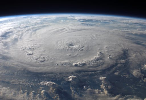
The Eastern Pacific hurricane season is off to an unusually early and intense start, with five named tropical storms already forming nine days ahead of average. This heightened activity is strongly influenced by what could become one of the strongest El Niño events ever recorded, potentially leading to a near-record number of named systems. While the Atlantic basin has been quieter due to strong wind shear, it shows signs of stirring, and forecasts suggest increasing activity in areas closer to land later in the season. Coastal communities in both regions face significant risks from heavy rains, flooding, and potential storm surges, underscoring the critical need for preparedness in an era of shifting climate patterns.
The Eastern Pacific is currently a tropical storm factory, with activity far exceeding the typical pace. So far, five named storms have formed, putting the season roughly nine days ahead of its average schedule. This intensity is largely driven by what many expect to be one of the strongest El Niño events ever recorded, with NOAA forecasting up to 22 named systems—a number that would rival some of the most active seasons on record. Already, storms like Boris, which hit southern Mexico, caused heavy rainfall, significant flooding, four fatalities, and an estimated $81 million in damages. Similarly, Tropical Storm Cristina led to seven deaths in Central America from powerful waves and river overflows.
Meanwhile, the Atlantic hurricane season has been slow to start, primarily due to strong wind shear in the Caribbean that makes it hard for storms to develop. The lone named storm, Arthur, had a very short life but still managed to cause over $1 billion in damages along the Gulf Coast, including record-breaking rainfall in Louisiana and four fatalities. While the Atlantic may appear dormant for now, there are hints of activity stirring, particularly off the coast of Florida.
An area of low tropical development could bring much-needed heavy rains to parts of Florida, helping alleviate lingering drought conditions in regions like Big Bend and Tampa Bay. While it may not fully organize into a named storm, the precipitation would be vital for the environment. Looking ahead, Colorado State University forecasts anticipate increased activity in the Atlantic during the peak season, especially in areas north of 20°N latitude, closer to the U.S. East Coast and the Gulf of Mexico. This shift means less time for coastal residents to prepare if a storm forms, which is particularly concerning given the extremely warm ocean temperatures in the Gulf. These warm waters provide a vast energy source, making rapid intensification a serious threat and underscoring the urgent need for communities to enhance their climate resilience and preparedness.