Pacific Storms Surge, But What's Awakening in the Atlantic?

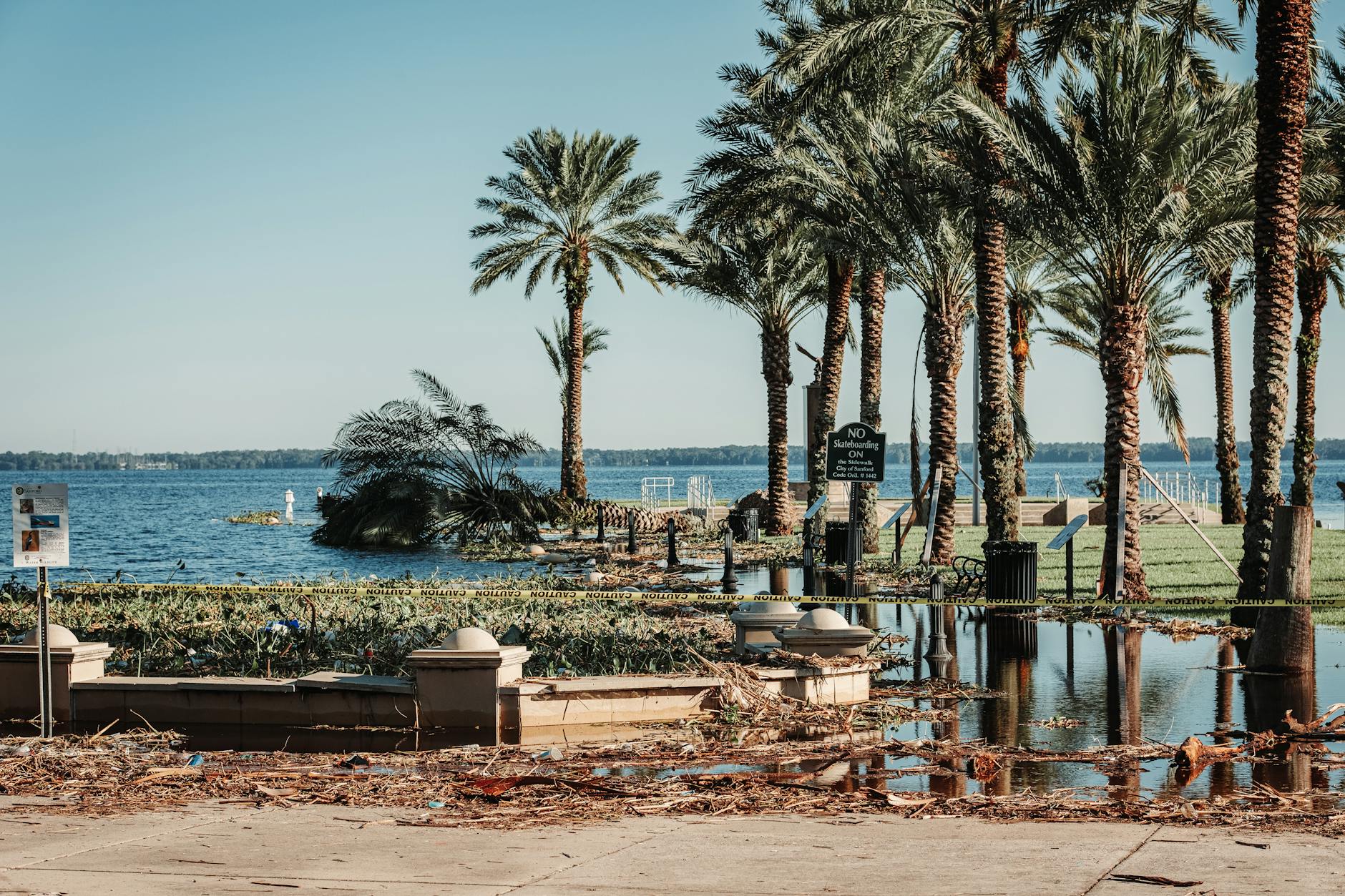
The 2026 hurricane season is already proving to be exceptionally active in the Eastern Pacific, driven by what could be the strongest El Niño on record. This surge in tropical storms brings significant risks of flooding and damage, with some systems already making deadly landfalls. While the Atlantic Basin has seen a slower start, forecasters warn of potential development closer to land later in the season. Understanding these weather patterns is crucial for preparing our communities and underscores the urgent need for robust climate action in a warming world.
The Eastern Pacific hurricane season is well ahead of schedule, already producing five named tropical storms. Experts predict this region could see up to 22 named systems this year, tying for the second-highest on record. This heightened activity is largely due to what scientists believe could be the strongest El Niño ever recorded, influencing global weather patterns and fueling these powerful storms.
Two of these storms, Boris and Cristina, have already caused significant destruction and tragic loss of life. Tropical Storm Boris, which made landfall in southern Mexico, led to four deaths and an estimated $81 million in damages from torrential rains and widespread flooding. Shortly after, Tropical Storm Cristina caused seven deaths in Central America due to rough seas, flooding, and overflowing rivers, despite lower damage estimates. While current systems like Elida and a potential future storm, Fausto, are expected to remain over open waters, the sheer number and intensity of storms highlight a concerning trend.
The Atlantic Basin, in contrast, has had a quieter start, with only one named storm, Arthur, which was short-lived but still caused over $1 billion in flooding damage and four deaths across the Gulf Coast. While strong wind shear is expected to suppress Atlantic activity in the Caribbean for now, there are signs of potential development closer to the U.S. coast.
Looking ahead, seasonal forecasts suggest the Atlantic Basin could see more activity during peak months, especially in areas north of 20°N latitude, including the Southeast, Eastern Seaboard, and Gulf of Mexico. These regions are projected to experience lower-than-average wind shear and contain very warm waters, which are prime conditions for tropical development and rapid storm intensification. This means any potential storms could develop quickly and closer to populated areas, leaving less time for preparation and increasing the risk of severe impacts. The ongoing drought in parts of Florida further complicates matters, as heavy rainfall, while needed, could quickly lead to dangerous flash flooding.