South Texas battles unseen threat. [New tool reveals all]

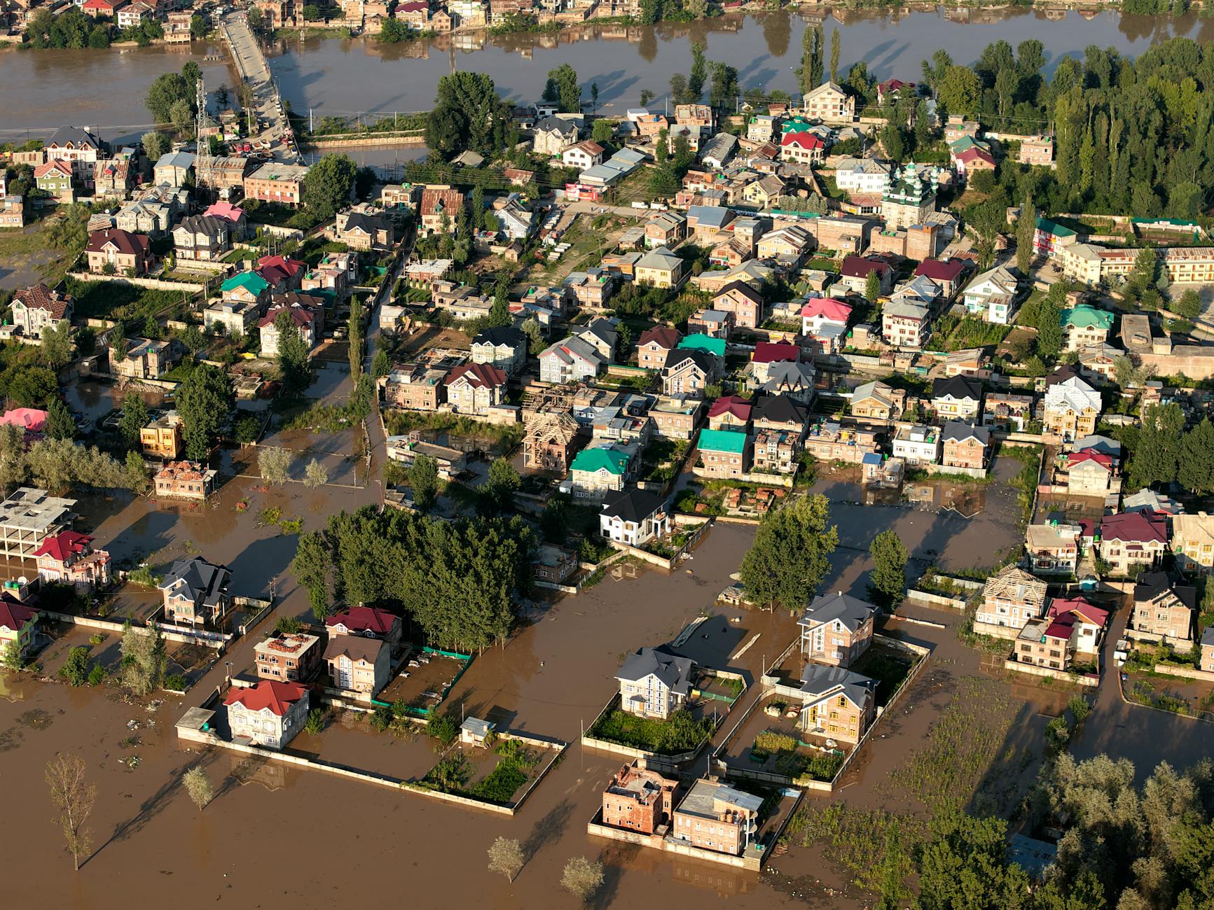
South Texas communities, especially low-income "colonias," face intense flooding, worsened by climate change. These areas, often built in low-lying former farmland, lack proper drainage, leaving residents submerged for days. A new collaborative flood mapping tool, developed with community input and satellite data, now offers a clearer picture of past inundation. This vital resource empowers residents to understand their risks and advocate for crucial solutions. It underscores the urgent need for local action and sustainable planning in the face of our changing climate.
In March 2025, over a foot of rain deluged parts of South Texas in under three days, leaving some areas flooded for more than a week. The hardest hit were often "colonias," low-income, predominantly Latino communities. These neighborhoods are particularly vulnerable because many were built in former farmland shaped like bowls for irrigation, now lacking adequate drainage. As our climate changes, storms are growing more intense, meaning water has nowhere to go but into homes and streets.
To tackle this persistent issue, Lucas Belury, a PhD candidate at the University of Arizona, partnered with local groups to create an innovative flood mapping tool. This tool combines detailed satellite information with direct input from residents. It vividly shows which specific areas in the southern tip of Texas were submerged during 13 significant flood events over the past eight years.
This easy-to-use map allows people to zoom in on their addresses and see their individual flood risks. By revealing exactly where the heaviest burdens fall during extreme rain, the tool empowers communities. It helps them advocate effectively for the necessary drainage improvements and sustainable solutions to keep their families and homes safe from devastating floods, highlighting how collective action and clear data are crucial for climate resilience.