Southern Appalachia's hidden danger rises; a warning system emerges.

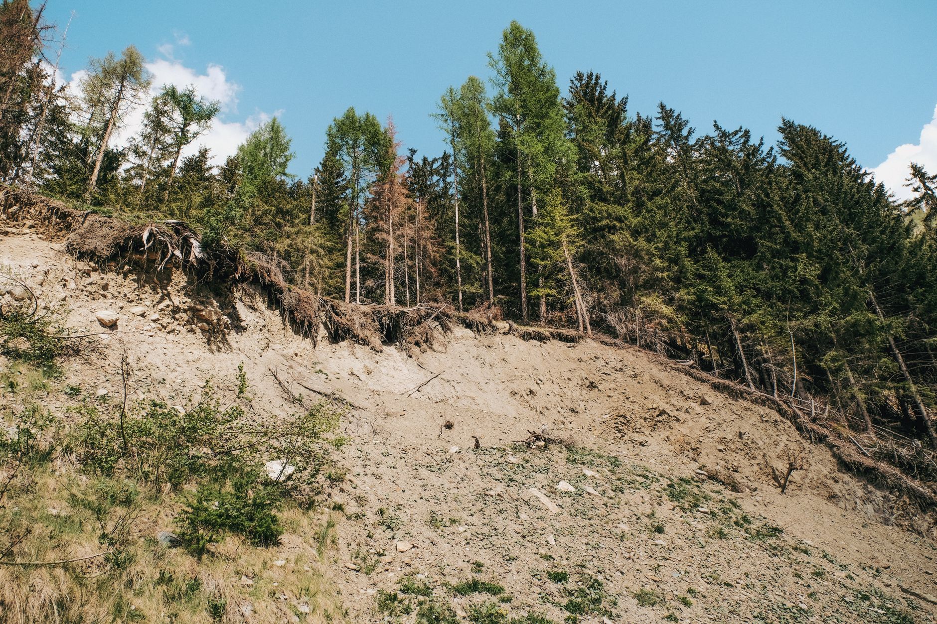
Two years ago, Hurricane Helene brought devastating landslides to Southern Appalachia, including one that tragically took 11 lives. This region's steep mountain slopes are naturally prone to landslides, especially after heavy rains saturate the soil. Now, with climate change causing more extreme storms, the risk of these catastrophic events is growing significantly. Experts are urgently developing new tools to protect communities from this escalating environmental threat.
The beautiful, rugged landscape of Southern Appalachia has always seen its share of landslides. But recent events, like the destruction caused by Hurricane Helene, show just how vulnerable these communities are. Before Helene even hit, a massive seven-inch rainfall had already soaked the ground, making the soil unstable and ready for disaster.
This isn't just about one storm; it's a clear signal of our changing climate. As our planet warms, extreme weather events like intense, sudden downpours become more common and severe. This directly increases the risk of landslides in areas with sensitive terrain, turning a known regional phenomenon into a much more urgent and widespread danger.
To combat this escalating threat, a vital partnership is forming. Karin Rogers, director of the National Environmental Mapping and Applications Center at the University of North Carolina Asheville, is leading a team that is partnering with the North Carolina Geological Survey. Together, they are building an early warning system. This innovative system will combine storm forecasts with detailed maps of past landslides and real-time soil moisture data. The ultimate goal is simple yet critical: to pinpoint the most dangerous areas and give people enough time to get to safety before a landslide strikes, safeguarding lives and homes against the impacts of a warming world.