This El Niño Is So Extreme, It Lacks a Scientific Name

The planet is bracing for an El Niño event so extreme it's unlike anything scientists have observed in over a millennium. Climate expert Daniel Swain from UCLA’s Institute of the Environment and Sustainability warns this event is a significant discharge of heat from our warming oceans, signaling uncharted territory for Earth's climate. This 'record-shattering' phenomenon, fueled by accumulating global warming, is set to drive global temperatures to new highs in late 2026 and into 2027, potentially giving us a glimpse of life beyond the critical 1.5°C warming threshold. Its far-reaching effects will bring dramatic, regionally specific weather extremes.
A new El Niño event is taking shape in the Pacific, described by scientists as the strongest in over a thousand years. This isn't just a strong weather pattern; it's the ocean releasing a massive amount of heat it has stored, a process now amplified by climate change. As the U.N. Secretary-General António Guterres warns, "The science leaves no room for doubt: the planet is in uncharted waters, and those waters are heating up."
Climate research scientist Daniel Swain explains that El Niño acts like a battery, with the tropical oceans storing immense heat. When this 'battery' becomes overcharged, it releases energy into the atmosphere. Due to global warming, this 'battery' is getting larger and recharging faster, leading to increasingly powerful El Niño events that discharge even more heat.
This release of energy means we are heading for record-breaking global temperatures later this year and through 2027. Experts suggest temperatures could even approach 1.7 degrees Celsius, offering a concerning preview of what a world significantly beyond the 1.5-degree warming target might entail. Such heat intensifies the global water cycle, leading to more extreme rainfall in some regions and severe droughts in others.
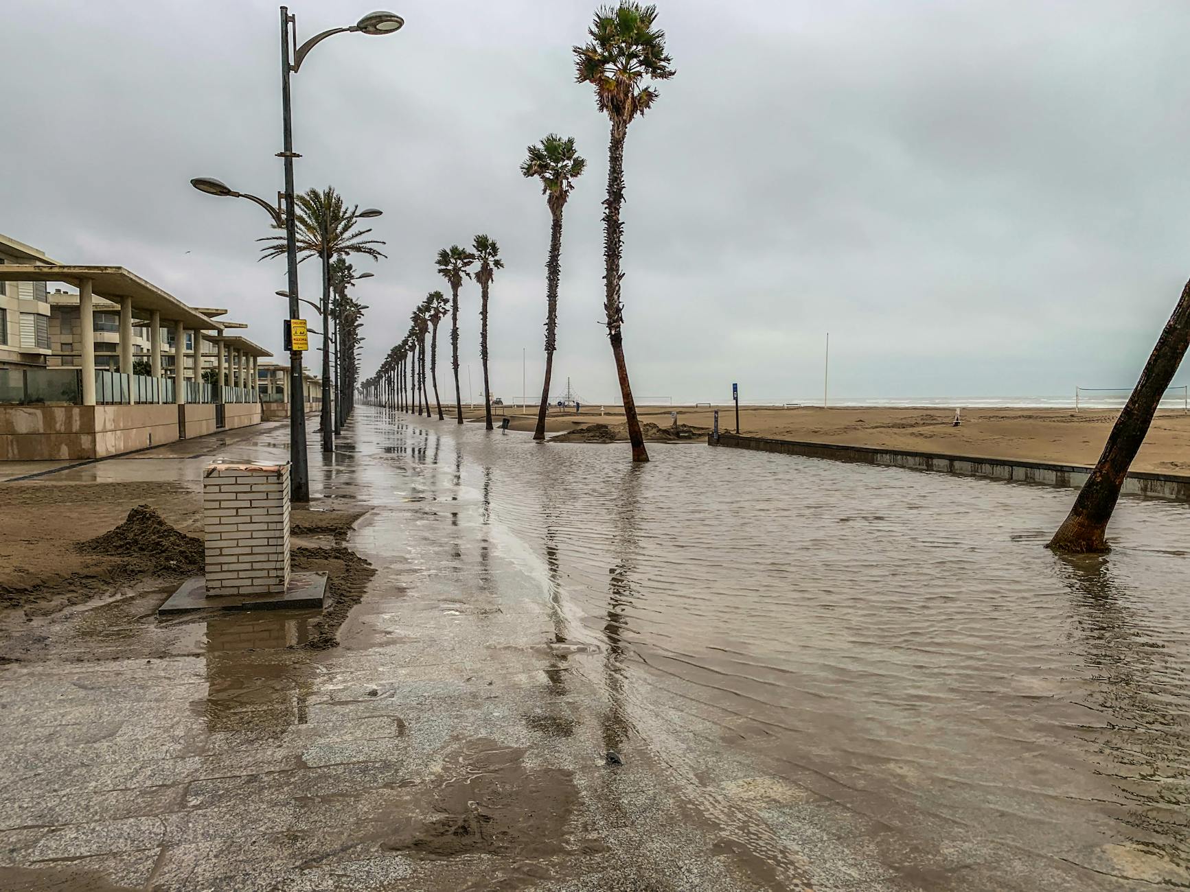
For places like California, the immediate concerns are profound. This El Niño is almost certain to double the historical sea level rise from climate change overnight, adding another foot to coastal waters by December. Combined with the increased likelihood of major winter storms and exceptionally high 'king tides,' communities along the coast and in tidal bays like San Francisco Bay face a very high risk of record-breaking flooding. Critical infrastructure, including major highways and tech firm campuses, is vulnerable to saltwater inundation.
While this El Niño will likely bring a wetter-than-average winter to California, offering some temporary relief, it won't solve long-term water crises. For regions like the Colorado Basin, even the wettest year won't reverse decades of drought compounded by increased demand and climate change. Such events underscore the urgent need for sustainable solutions and adaptation strategies in the face of a rapidly changing climate.