Weak Storm, Big Threat: What Edouard's Flooding Reveals in Texas

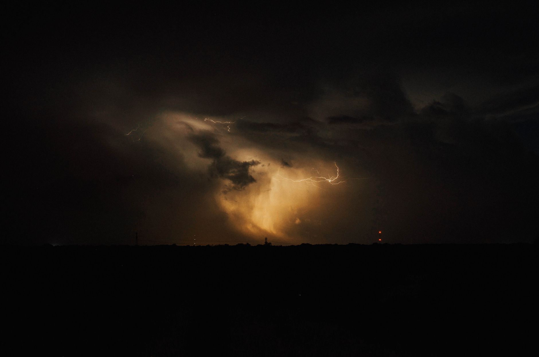
Tropical Storm Edouard, though short-lived and seemingly mild, brought devastating flash floods to East Texas this week. Despite its weak winds, the storm dumped exceptional amounts of rain inland, causing local emergencies. This event underscores how even lesser-known storms can unleash significant destruction, a stark reminder of our changing climate. Meanwhile, two powerful Pacific hurricanes, Lowell and Marie, show the intensifying global storm activity and potential threats to Hawaii and the U.S. Southwest, highlighting an unusual and concerning hurricane season.
What seemed like a benign tropical storm made landfall in southeast Texas this week, but Edouard quickly turned into an unexpected inland disaster. Despite being a weak system, it unleashed widespread, locally catastrophic flash flooding across a large corridor from Houston to Dallas-Fort Worth. Some areas reported staggering rainfall totals between five and 20 inches, with isolated spots nearing 30 inches, leading to emergency declarations in towns like Kountze and Village Mills. This disproportionate impact, where a storm’s size and wind speed don't reflect its rainfall potential, is a growing concern in a warming world.
Interestingly, the Atlantic hurricane season for 2026 has been unusually quiet on one front: there hasn't been a single hurricane yet. This places it among the latest starts in decades, far behind the average first hurricane date of August 11. However, the U.S. has already seen three named storm landfalls this year—Arthur, Bertha, and Edouard—with Arthur alone causing a billion dollars in damage. This trend highlights that while the big, powerful hurricanes may be delayed, even weaker tropical storms can bring immense disruption and economic cost, stressing the urgency of preparing for diverse weather threats.
Meanwhile, the Pacific is buzzing with activity. Hurricane Lowell, a true giant, has rapidly intensified to near Category 5 strength, churning south-southeast of Hawaii. This incredibly powerful storm is predicted to hold much of its strength, bringing massive ocean swells and, alarmingly, a potential sharp turn towards the Hawaiian islands next week. The possibility of such a strong hurricane making landfall in Hawaii, as indicated by various forecast models, is a serious concern, emphasizing the need for robust climate resilience strategies.
Further west, Tropical Storm Marie is also set to become a hurricane, tracking parallel to Mexico’s coast. While its most likely path takes it away from the U.S., there's a slim chance its remnants could pivot towards Southern California and the desert Southwest. Even if not a full hurricane, the moisture from such a system could bring unusual September rains to an arid region. This demonstrates how distant tropical events can still influence weather patterns, highlighting the complex and interconnected nature of our global climate system and the importance of monitoring all potential impacts.