What's fueling Mexico's "strongest storm ever"?

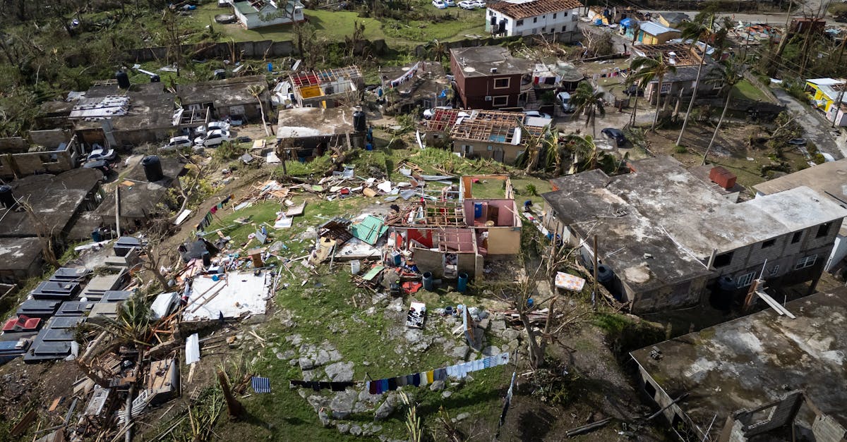
Hurricane Polo has become one of the most powerful Pacific storms in decades, threatening Mexico's southwestern coast as an "extremely dangerous" Category 4 hurricane after briefly reaching Category 5. Its rapid and "truly remarkable" intensification has alarmed scientists and residents alike, prompting evacuations and port closures. This extreme weather event underscores the growing intensity of storms in an era of warmer ocean temperatures. Meanwhile, another Pacific system, Odalys, also strengthened to a hurricane, though it poses no immediate land threat.
Polo, currently a Category 4 storm with sustained winds of 150 mph, is expected to skirt Mexico's coast without direct landfall, yet its impact is immense. Hurricane-force winds stretch 40 miles from its center, bringing significant risks of tropical storm conditions, heavy rain, flash flooding, and dangerous mudslides across Guerrero, Michoacán, and Colima states. Coastal communities are on high alert, with residents like Concepción López Villegas fearing for their livelihoods as powerful waves threaten to destroy decades of work. Mexican authorities have suspended classes and shut down ports, urging caution.
Scientists are particularly stunned by Polo's "truly remarkable" speed in gaining strength, making it the third Category 5 hurricane in the Pacific this season. Experts attribute this rapid intensification to the El Niño weather phenomenon. El Niño creates ideal conditions for hurricanes, providing warmer waters and specific wind patterns that act as "fodder" for these powerful storms. This highlights a crucial link between changing climate patterns and the increasing intensity of natural disasters, emphasizing the urgent need for global action to address environmental shifts that fuel such extreme events.